ARABIAN TIMES NEWS NETWORK
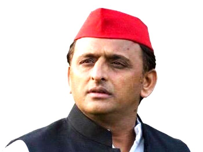
Samajwadi Party (SP) chief Akhilesh Yadav has launched a scathing attack on the Bharatiya Janata Party (BJP), accusing it of misleading the people with the slogan of “double-engine government.” He said the phrase, often used by the BJP to claim faster development under the same party’s rule at the Centre and in the states, has turned out to be nothing but a “symbol of falsehood and deception.”
“The BJP keeps talking about its double-engine government, but both engines are running on lies,” Akhilesh declared, criticizing the ruling party for failing to fulfil the very promises it made to the electorate. He remarked that the BJP’s publicity machinery works overtime to project success, while the reality on the ground tells a completely different story.
He highlighted that farmers, who were promised a doubling of their income, have instead been pushed into deeper distress. “The government has failed to protect farmers’ interests. Land belonging to both small and large cultivators is being handed over to big industrialists. The slogan of empowering farmers has become a slogan of snatching their rights,” he said.
Akhilesh also attacked the BJP for releasing separate manifestos for parliamentary and state elections, accusing it of making tall claims during campaigns and conveniently forgetting them after winning power. “From employment and education to inflation and welfare, every promise of the BJP remains unfulfilled. The people now understand the reality of their false claims,” he added.
Confident about the upcoming political battles, Akhilesh said that Uttar Pradesh is ready to reject the “politics of pretence.” “In 2027, people will show that truth and performance matter more than slogans and speeches,” he stated. The SP leader also extended his support to the INDIA bloc’s unity in other states, particularly in Bihar, where Tejashwi Yadav has been projected as the chief ministerial candidate.
He said that the alliance represents a “new hope” for the youth and the working class who are “tired of the BJP’s theatrics.” As the debate over the so-called double-engine model intensifies, Akhilesh Yadav’s remarks capture the growing frustration among the opposition and a section of the public. His message was clear, India doesn’t need two engines of the same train if both are heading in the wrong direction; it needs leadership that drives the nation with honesty, equality, and real development.


